3D Interactive Globe
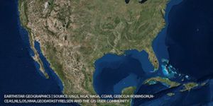
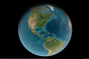
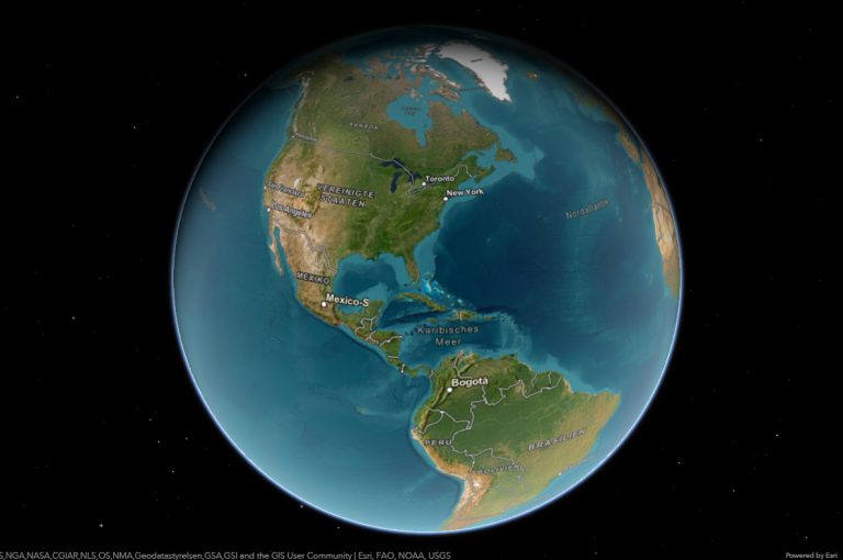
Explore the Earth with the 3D interactive globe. The globe is a three-dimensional model of the Earth with high-resolution 3D satellite imagery. The first globe was created around 150 BC. by Crates of Mallus.
The globe has 3 properties:
Equivalence – the scale on all sides of the globe is the same.
Equivalence – the proportions between the areas of reality and the globe are preserved.
Equiangularity – the horizontal angles between two directions of the globe do not change when depicted on the globe.
Тerrestrial globe
A model globe of Earth is called a terrestrial globe.
The earth’s surface is reflected in the rules of central projection. Namely, imagine two identical spheres with a common center, one of which is a larger earth, and the sphere taken is smaller. The points are then designed with imaginary beams mounted in a common center. Thus, projections of the earth’s surfaces on the globe are located at the points of the district. The size of the globe is the same at every point. Angles are models of the same simultaneous globes, and this is still called conformity. The surface ratio is also true to scale.
The main features of each globe are: preserved similarities of the figure, agreement and ambiguity of surface and line. Based on these coordinators, the globe is the most faithful and approximate representation of the globe.
