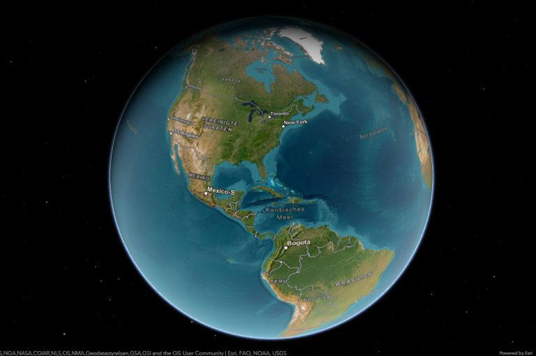
Map of Ukraine, Europe
- Cherkasy
- Chernihiv
- Chernivtsi
- Dnipropetrovsk
- Donetsk
- Ivano-Frankivsk
- Kharkiv
- Kherson
- Khmelnytskyi
- Kyiv
- Kirovohrad
- Luhansk
- Lviv
- Mykolaiv
- Odessa
- Poltava
- Rivne
- Sevastopol
- Simferopol
- Sumy
- Ternopil
- Vinnytsia
- Volyn
- Zakarpattia
- Zaporizhzhia
- Zhytomyr
- Cherkasy Oblast
- Chernihiv Oblast
- Chernivtsi Oblast
- Crimean Oblast
- Dnipropetrovsk Oblast
- Donetsk Oblast
- Ivano-Frankivsk Oblast
- Kharkiv Oblast
- Kherson Oblast
- Khmelnytskyi Oblast
- Kyiv Oblast
- Kirovohrad Oblast
- Luhansk Oblast
- Lviv Oblast
- Mykolaiv Oblast
- Odessa Oblast
- Poltava Oblast
- Rivne Oblast
- Sumy Oblast
- Ternopil Oblast
- Vinnytsia Oblast
- Volyn Oblast
- Zakarpattia Oblast
- Zaporizhzhia Oblast
- Zhytomyr Oblast
- Byriuchyi Island
- Berezan Island
- Zmiinyi Island
- Dzharylgach
- Dovhy and Kruhly islands
- Ship rock, Opuk Cape
- Adalary, Gurzuf
- Swan islands
- Tuzla Island
- Pervomaisky island
- Venetsiansky Island and Dolobetsky
- Trukhaniv Island
- Khortytsia
- Arabat Spit
- Behlytska Spit
- Kryva Spit
- Obytichna Spit
- Fedotov Spit
- Berdyansk Spit
- Tendrivska Spit
- Saint-Sophia Cathedral and Related Monastic Buildings
- Kyiv Pechersk Lavra
- Lviv – Historic Centre
- Residence of Bukovinian and Dalmatian Metropolitans
- Struve Geodetic Arc, Ukraine
- Ancient and Primeval Beech Forests, Uzhok National Nature Park
- Hoverla (2,061 m)
- Brebeneskul (2,035 m)
- Pip Ivan (2,021 m)
- Petros (2,020 m)
- Hutyn Tomnatyk (2,016 m)
- Rebra (2,001 m)
- Menchul (1,998 m)
- Pip Ivan – Maramureș (1,936 m)
- Turkul (1,933 m)
- Breskul (1,911 m)
- Dnieper
- Southern Bug
- Dniester
- Siversky Donets
- Desna
- Horyn
- Inhulets
- Psel
- Sluch
- Styr
- Western Bug
- Teteriv
- Sula
- Inhul
- Vorskla
- Ros
- Oril
Geography of Ukraine
Ukraine is a country in Eastern Europe. With an area of 603,700 square kilometers, it is the largest state whose borders lie entirely in Europe. It has the second largest national territory on the continent after Russia. Ukraine borders Russia to the northeast and east, Belarus to the north, Poland, Slovakia and Hungary to the west, and Romania and Moldova to the southwest. In the south, Ukraine is located on the Black Sea and the Sea of Azov. The capital and largest metropolis of the country is Kiev, other conurbations are Kharkiv, Dnipro, Donetsk and Odessa.
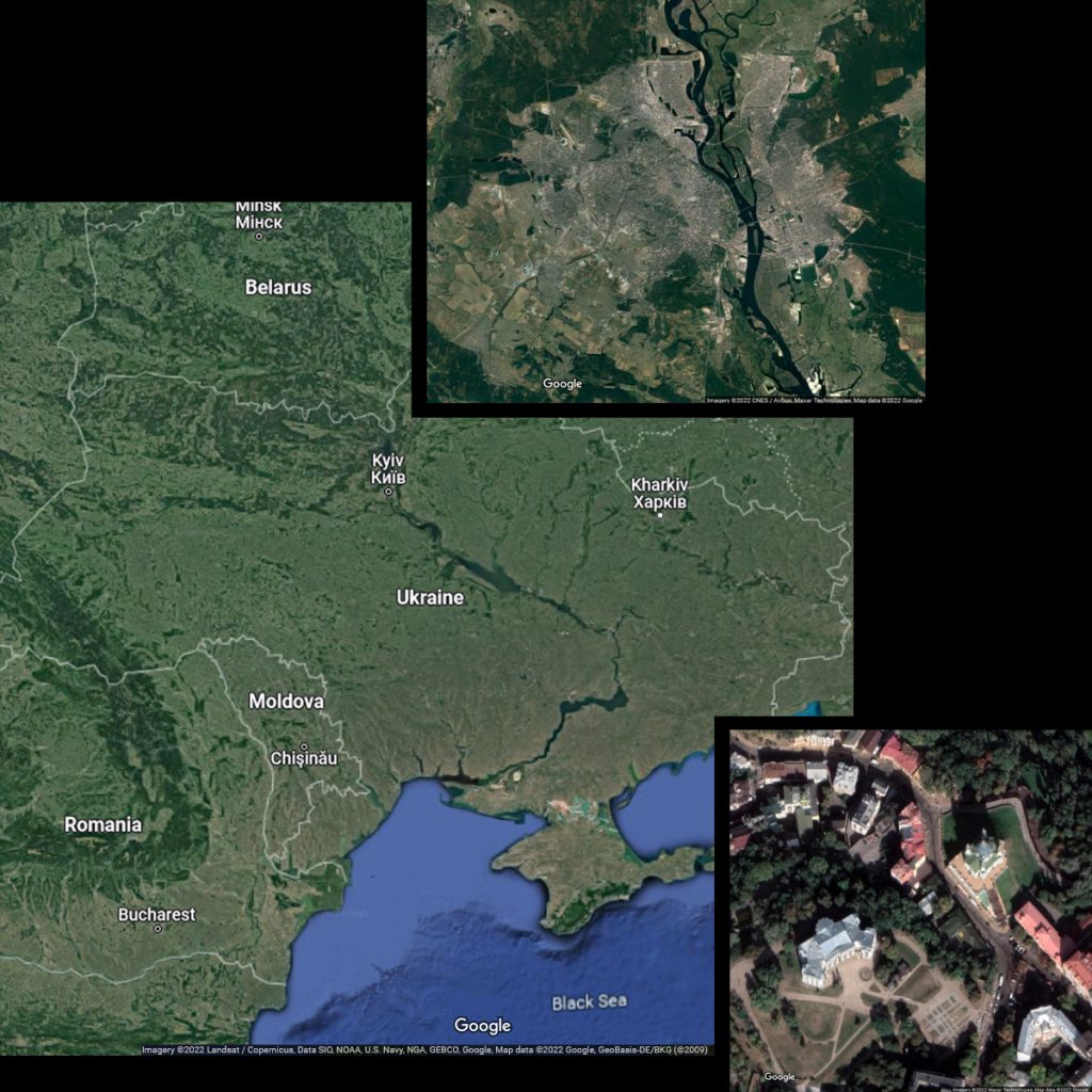
Table of Contents
Location
About 95% of Ukraine is located in the Eastern European plain, which is why it is almost exclusively counted as Eastern Europe. The remaining 5% belong to Central Europe (the Carpathians and Lviv) and South-Eastern Europe (Odessa and the Budschak), depending on the definition.
Mountains
Other landscapes outside the great plain can be found in southern western Ukraine, where the country has a share in the Carpathian Forest and the Pannonian Plain, as well as in the extreme south. The highest mountain in the country is the Howerla in the Chornohora, which reaches an altitude of 2061 m. The highest elevation in Crimea is the Roman Kosch with a height of 1545 meters.
Terrain
On the part belonging to the Eastern European plain, especially in the north and south of the country, large lowlands such as the Dnieper Lowlands and the Black Sea Depression extend. The terrain there reaches heights between 0 and 200 m. Due to the small differences in altitude, the rivers of this area flow very slowly. In the area of lowlands, there are smaller gas and oil deposits, especially in the central Ukrainian Poltava Oblast, but these are not sufficient for the country’s self-sufficiency. Hopes are placed in the development of fields in the Black Sea.
In the central part of the country, higher areas with terrain heights between 200 and 470 m (Kamula), which are called plates, extend from west to east. These include the Podolian Plate, the Dnieper Highlands or the Donets Plate. These plates consist mainly of rock from the Ancient World, which has been raised again by the formation of the Alglidian mountain belt in the last 10 million years. They are rich in raw materials such as iron ore and coal. The largest ore deposits are found in Kryvbass around the city of Kryvyi Rih in the west of the Dnipropetrovsk Oblast, while the coal deposits are mainly located in the Donbass region around the city of Donetsk. The plates are intersected by numerous smaller and larger rivers, some of which have cut deep into the terrain.
History
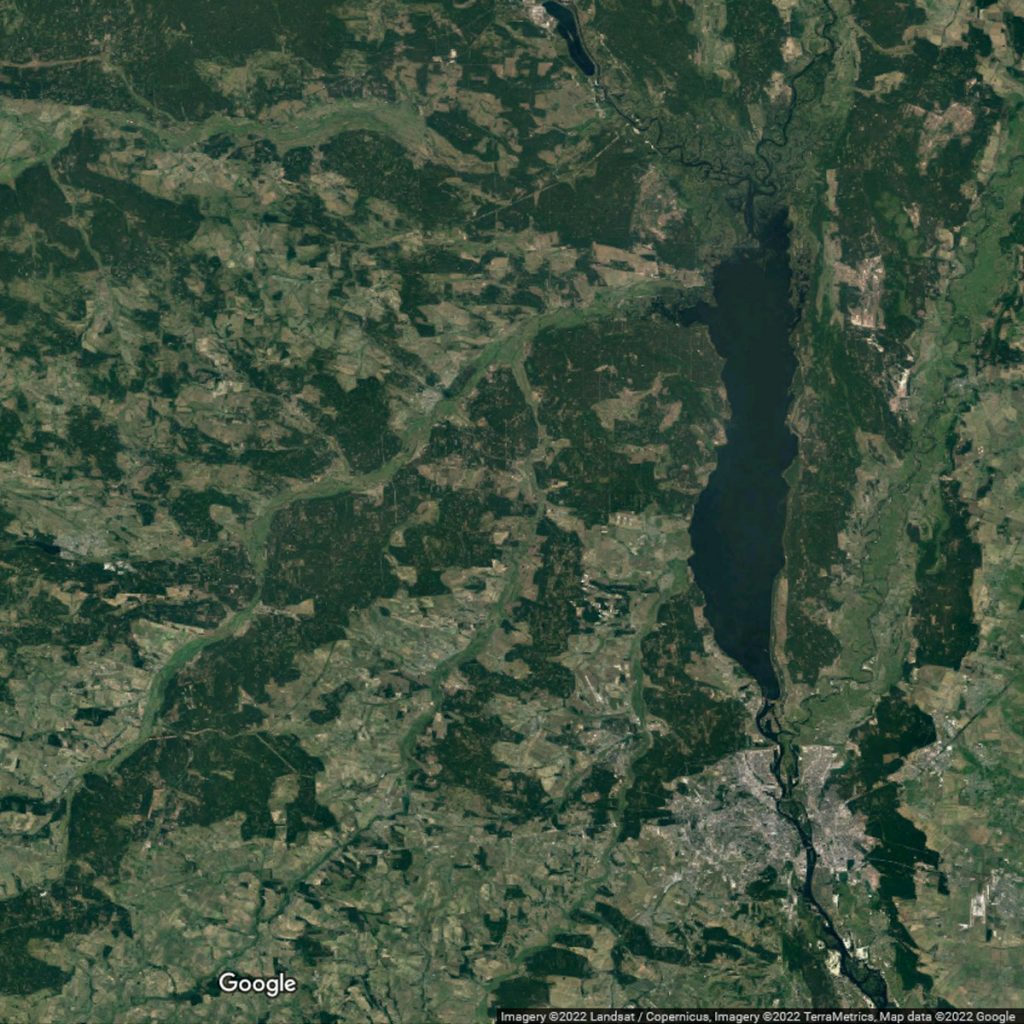
The northwest of Ukraine is called Volhynia. With Galicia, this landscape is counted among the “germ cells” of an independent Ukraine, as these areas were only separated from Poland by the Soviet Union in the course of the Second World War. Until then, with brief exceptions, parts of western Ukraine had almost never belonged to an empire ruled from Moscow. Since the destruction of the Galician Russophile movement by Austria, the majority of the population has been very reserved towards Russia. However, the area of origin of Ukrainian culture and language is probably in the Dnieper region southeast of Kiev, where the Cossack state existed for a short time in the 17th century.
Geographical center
The geographical center of the country is located near the settlement of Dobrovelychkivka in Kirovohrad Oblast.
At the end of the 19th century, Austrian engineers came to the conclusion that the geographical centre of Europe was located in the village of Dilove in the Transcarpathian Oblast. However, since there are different methods for calculating the centre and the eastern borders of Europe are arbitrary and therefore not clearly defined, several other places also claim the title for themselves.
