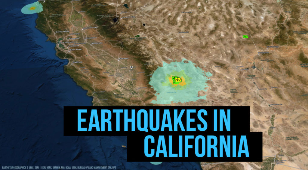
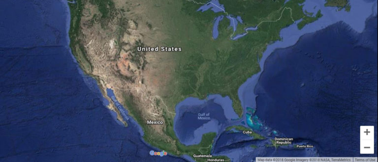
Earthquakes in California are very common because the state is located above the St. Andrew’s Fault, which crosses California marks the boundary between the Pacific tectonic plate and the North American plate.
The complex landscape of California is in fact attributable to the network of faults that cross the entire state. The first earthquake to be recorded in California occurred in 1769 and was felt during the Portol expedition 30 miles southeast of Los Angeles.
The state of California is crisscrossed by numerous active faults capable of generating even very strong surface waves. The most active of these faults is the San Jacinto Fault in Southern California, which has generated powerful surface waves at regular intervals throughout its recent history, as well as the triple junction of Mendocino, located off California Northern. Northern California is also prone to quakes capable of exceeding magnitude 8.5, generated by the Cascadia subduction zone. The city of Parkfield, in central California, is located on a section of the San Andreas fault that produces earthquakes with magnitude 6 at intervals of about 20 or 30 years, precisely in 1857, 1881, 1901, 1922, 1934, 1966 and 2004.
The strongest earthquake ever recorded in California was for Fort Tejon in 1857, with an estimated magnitude of 7.9, caused by the rupture of the St. Andrew’s Fault 350 km between Parkfield and Wrightwood. The most destructive earthquake to date is San Francisco in 1906, with a magnitude of 7.8, which killed more than 3,000 people also due to the large fires that later arose and destroyed 80% of the city. More recently, the 1989 Loma Prieta earthquakes in the San Francisco Bay Area, and 1994’s Northridge earthquakes in the Los Angeles Area, magnitude 6.9 and 6.7, respectively, caused extensive damage and several deaths.