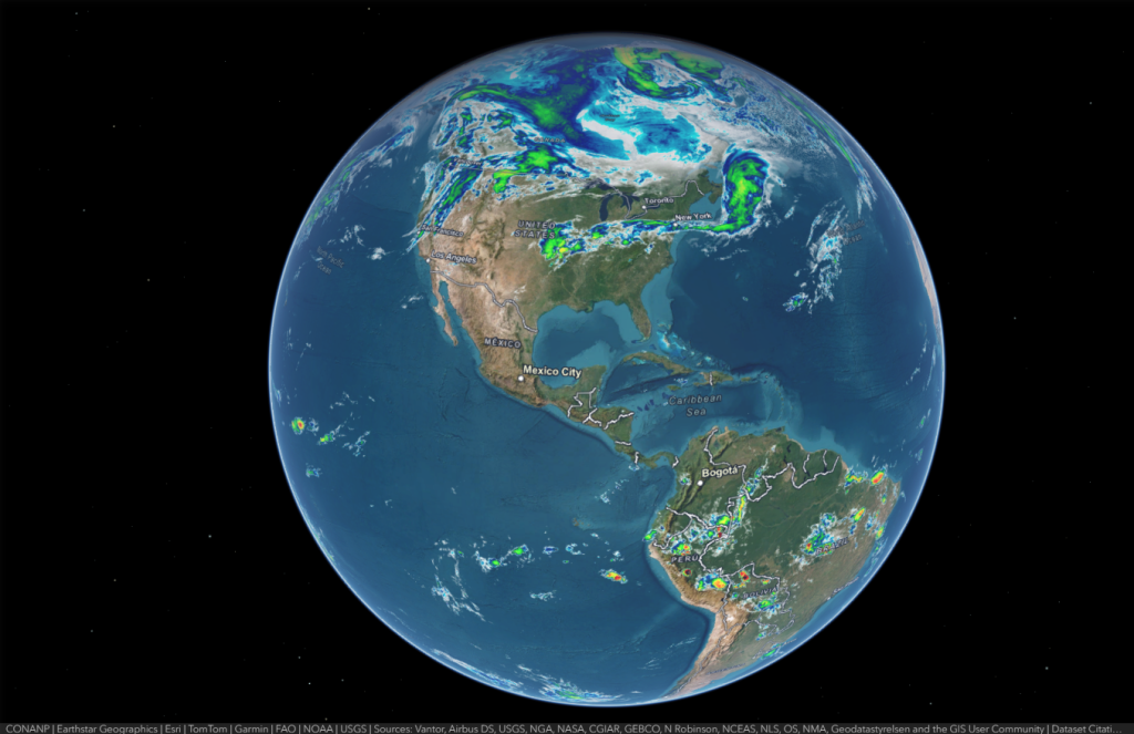
Satellite layers usually include visible (daylight cloud detail), infrared (cloud-top temperature day and night), and sometimes water vapor (moisture in the mid and upper atmosphere). These views help you quickly spot deep convection, cold cloud tops, dry slots, and large-scale circulation patterns.
Storm Tracking
This map is especially useful for tracking hurricanes in the Atlantic, tropical storms in the eastern Pacific, and typhoons in the western Pacific. You can watch eye formation, cloud-band structure, and outflow, then compare changes over time to understand strengthening or weakening trends.
Regional Detail
Because geostationary satellites update frequently, the map is great for monitoring fast-changing conditions such as thunderstorm development, winter fronts, marine fog, and dust or smoke plumes. It also helps you see how weather interacts with coastlines, mountains, and deserts at a broad scale.
Update
The satellite imagery on this map is updated approximately every 10 minutes, providing near real-time monitoring of global weather systems. This frequent refresh rate allows users to follow the development and movement of cloud formations, storm systems, and large-scale atmospheric patterns with minimal delay.