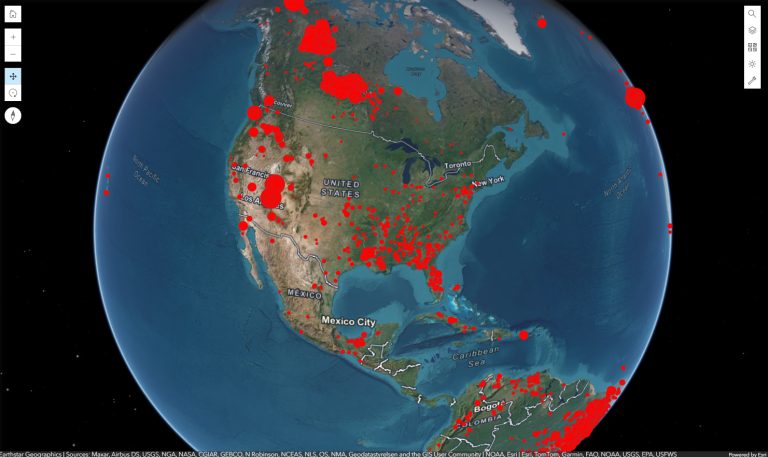
Each point on the map represents a recorded eruption. The layer includes useful fields such as year, month, day, volcano name, country, location, latitude, longitude, elevation, morphology, eruption time, fatalities, injuries, missing people, destroyed houses, damage, tsunami connection, earthquake connection, and VEI.
Risk Levels
Risk levels can be shown by the type and scale of volcanic impact, not only by human loss. The map may help users compare eruptions by damage level, VEI strength, tsunami connection, earthquake connection, destroyed houses, affected areas, and the physical characteristics of the volcano.
Geography
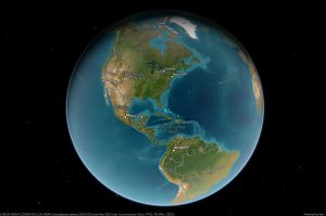
Significant eruptions are found in many volcanic regions, especially along plate boundaries and island arcs. Many are located around the Pacific Ring of Fire, but important eruptions also appear in the Mediterranean region, Iceland, East Africa, the Caribbean, and other volcanic zones.
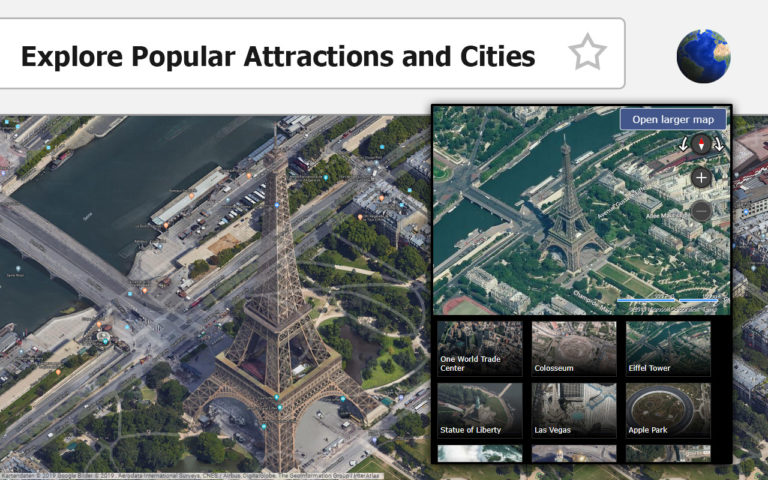
Map Use
This map is useful for learning about volcanic hazards, historic disasters, and global risk patterns. It helps users compare eruption locations with countries, cities, coasts, mountains, earthquakes, tsunamis, and areas where people live near active volcanoes.
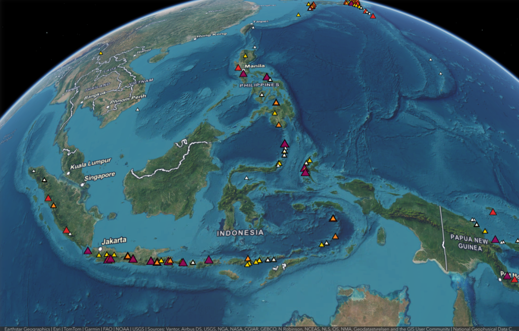
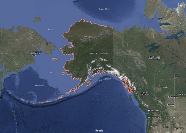
Most Active Areas
The most active volcanic areas are usually found where tectonic plates meet. The Pacific Ring of Fire is the best-known example, with many volcanoes around the edges of the Pacific Ocean. Indonesia, Japan, the Philippines, Kamchatka, Alaska, the Andes, Central America, and the west coast of North America all belong to this large volcanic zone. These areas often have frequent eruptions, earthquakes, and sometimes tsunamis.
Biggest Volcanic Activity
The biggest volcanic activity is often measured by the Volcanic Explosivity Index, or VEI. Large eruptions can send ash high into the atmosphere, cover wide areas with volcanic material, damage buildings and farmland, and affect air travel and climate for a short time. Some of the strongest recorded eruptions include Tambora in Indonesia, Krakatoa in Indonesia, Novarupta in Alaska, and Pinatubo in the Philippines. These events show how powerful volcanoes can be when deep pressure, gas, and magma are released suddenly.