Map of Alaska, USA
- Anchorage
- Juneau
- Fairbanks
- Nome
- Sitka
- Denali
- Wrangell-St. Elias Range
- Mount Redoubt
- Chugach Mountains
- Brooks Range
- Denali National Park
- Katmai National Park
- Glacier Bay National Park
- Kenai Fjords National Park
- Gates of the Arctic National Park
- Yukon River
- Kuskokwim River
- Prince William Sound
- Lake Iliamna
- Bristol Bay
- Kodiak Island
- Aleutian Islands
- Barrow
- Adak Island
- St. Lawrence Island
Alaska State Map
Welcome to the Alaska Map Page! This page helps you explore Alaska — the biggest state in the United States. You can use the map below to see cities, towns, rivers, mountains, roads, and many other interesting places. The map is interactive, which means you can move it around and zoom in to see more details.

Table of Contents
Where Is Alaska?
Alaska is located in the northwest corner of North America. It does not touch any other U.S. state. It borders Canada on one side and has a very long coastline along the Arctic and Pacific Oceans. Because of its size, Alaska has many different types of land, from icy mountains and glaciers to forests and tundra.
Alaska's Cities and Towns
The capital city of Alaska is Juneau, which is in the southeast part of the state. However, the largest city is Anchorage, located in the south-central area. Another important city is Fairbanks, found farther north. These cities are where many people live, but most of Alaska is wild and has few roads or towns.
Mountains and National Parks
Alaska is home to Denali, the tallest mountain in North America. It stands 6,190 meters (20,310 feet) tall and is part of the Alaska Range. You can see Denali on the map and also explore nearby national parks. These parks protect nature and are great places to visit if you like hiking, camping, or watching animals.
Rivers and Waterways
The map also shows important rivers, like the Yukon River, which is one of the longest rivers in North America. Rivers like the Yukon were once used by gold miners and are still important for transport and fishing today. Many small villages are located along Alaska’s rivers.
Alaska’s Wild Animals
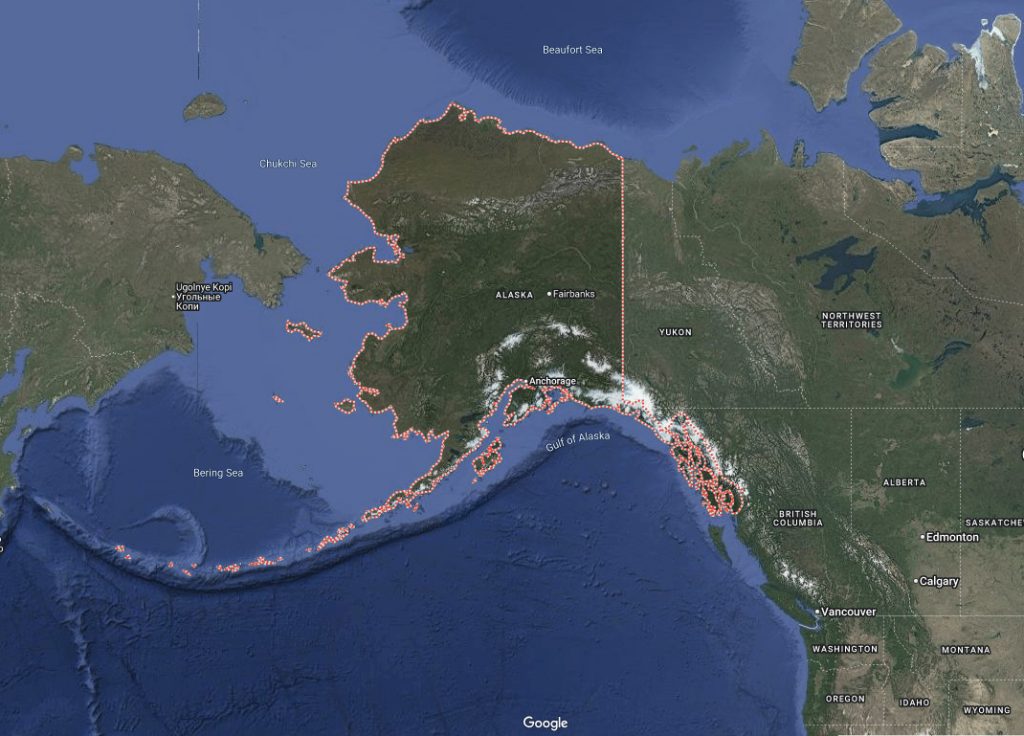
Alaska is rich in wildlife. When you explore the map, remember that many areas are home to bears, moose, wolves, caribou, and bald eagles. In the ocean, you might find whales, seals, and sea lions. The state is also a popular place for people who enjoy fishing, kayaking, and nature photography.
How to Use the Map
You can use this map to plan a trip, learn geography, or just explore for fun. Click on different places to find out their names. Try switching between the regular map view and satellite view to see how the land looks from above. Some maps may also show national parks, roads, and weather information.
Alaska’s Islands and Volcanoes
Alaska has many islands too, especially in the south and west. The Aleutian Islands stretch far into the Pacific Ocean and are made from volcanoes. Some of them are still active today. These islands are difficult to reach but are part of what makes Alaska unique.
Long Days, Long Nights
Because Alaska is so far north, it also has long days in the summer and very short days in the winter. Some places even have days when the sun does not rise at all, or never sets. This makes Alaska a great place to see the northern lights, also called the aurora borealis.
Start Exploring Alaska
We hope you enjoy exploring Alaska on the map. It is a land of natural beauty, strong wildlife, and exciting landscapes. Use the tools on the map to zoom in, zoom out, or find something new. There is always something interesting to discover in Alaska!